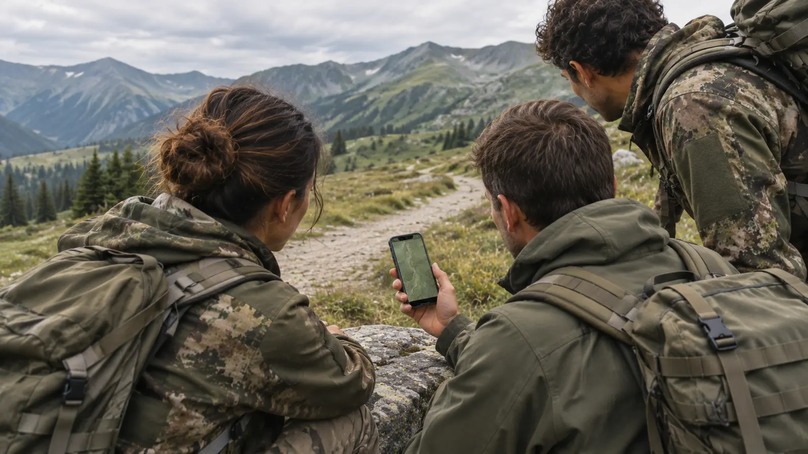
Military & reservists
Plan and brief exercises with MGRS, share routes with the section and carry the map on your phone.
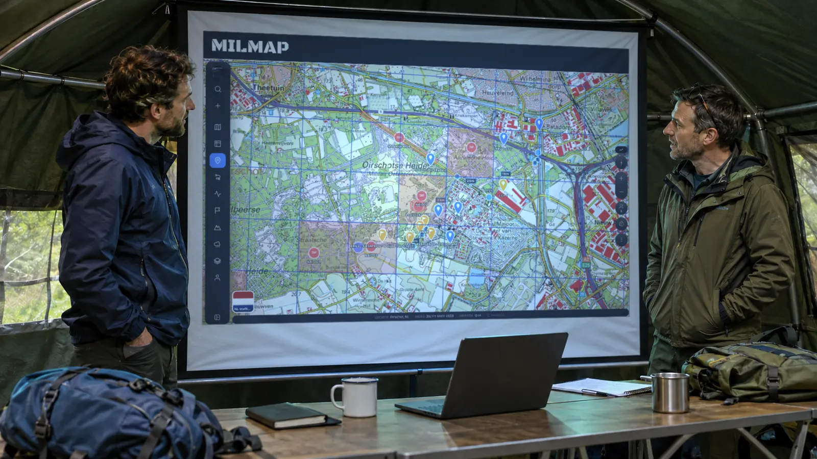
Topographic maps, MGRS coordinates, route planning and mission preparation in one app. Works offline on iPhone, Android and in your browser.
Try it for 7 days — no payment details needed
or use it in your browser — Open the web app
People find us as "mil map", "mil maps" or "milmaps". They all lead to the same place: MilMap, the map app built for people who work with military-style maps, grid references and routes — soldiers, reservists, instructors, search-and-rescue teams and serious outdoor navigators.
MilMap is a map and navigation app that treats the map like a working document. You plan a route, drop waypoints, read your position in MGRS, check the weather along the way and share it all with your team — then take it into the field with offline maps.
Where consumer map apps stop at "turn left", MilMap gives you the things you need to brief, navigate and report: grid coordinates, magnetic declination, terrain analysis, 3D flyovers of the route and PDF map sheets you can print.
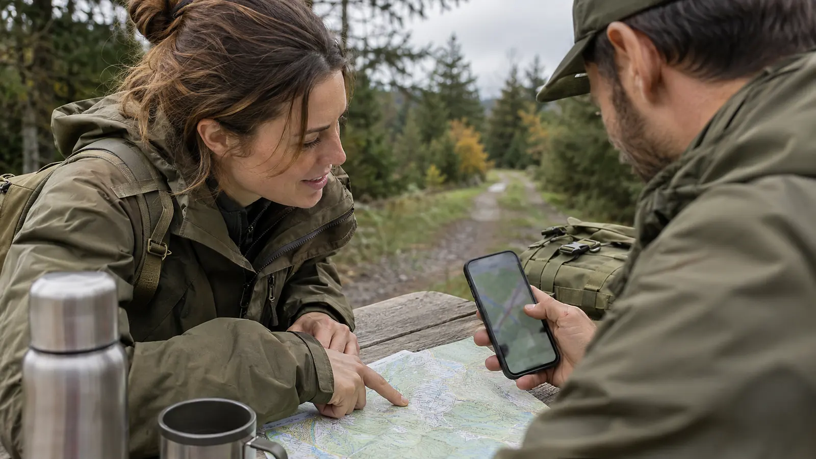
One app instead of a stack of tools.
Read your live position in MGRS, enter grid references and convert between GPS and MGRS — also offline.
Download map regions before you leave and keep navigating without a signal.
Draw routes, add waypoints, see distance, elevation and march times, and import GPX files.
Prepare a mission, share the map with your team and keep everyone on the same picture.
Fly over your route in 3D and analyse slopes and terrain before you step outside.
Export routes and missions as clean PDF maps for printing or a briefing pack.
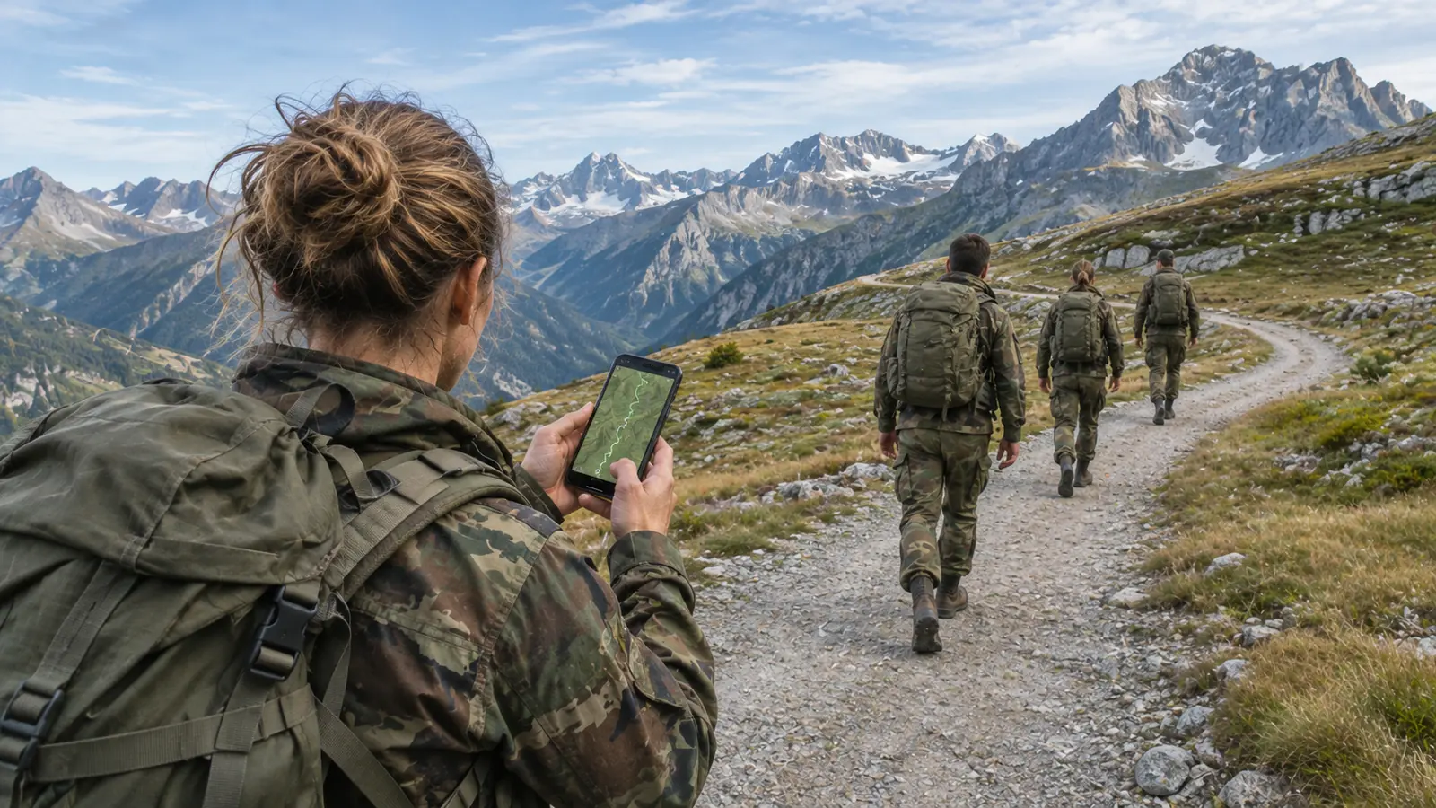
From a weekend patrol exercise to a mountain tour.
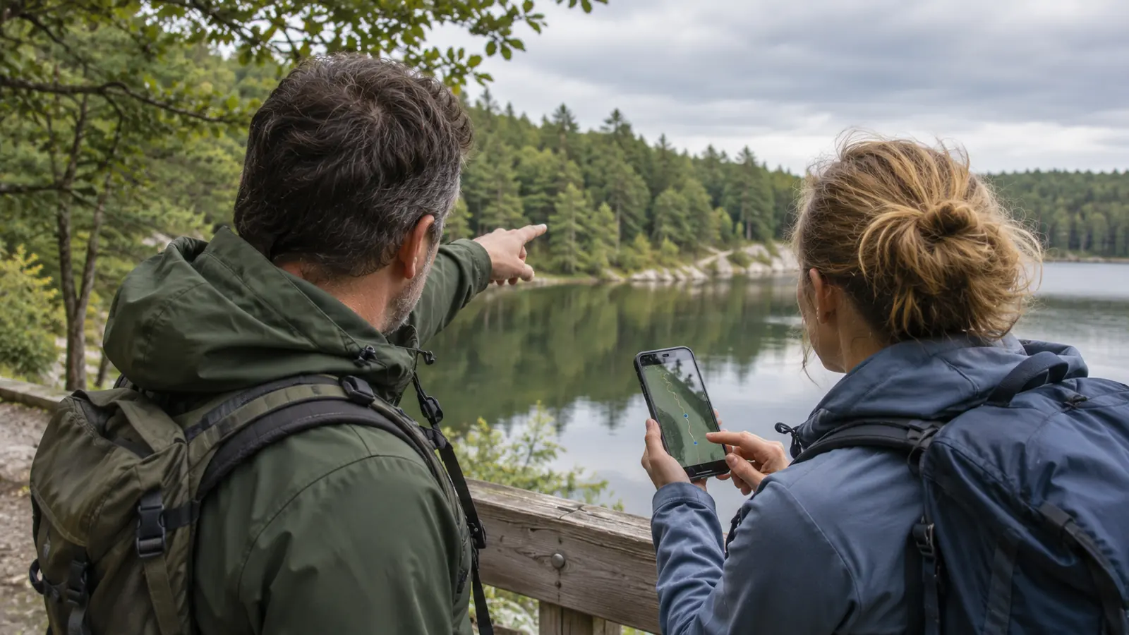
Plan and brief exercises with MGRS, share routes with the section and carry the map on your phone.
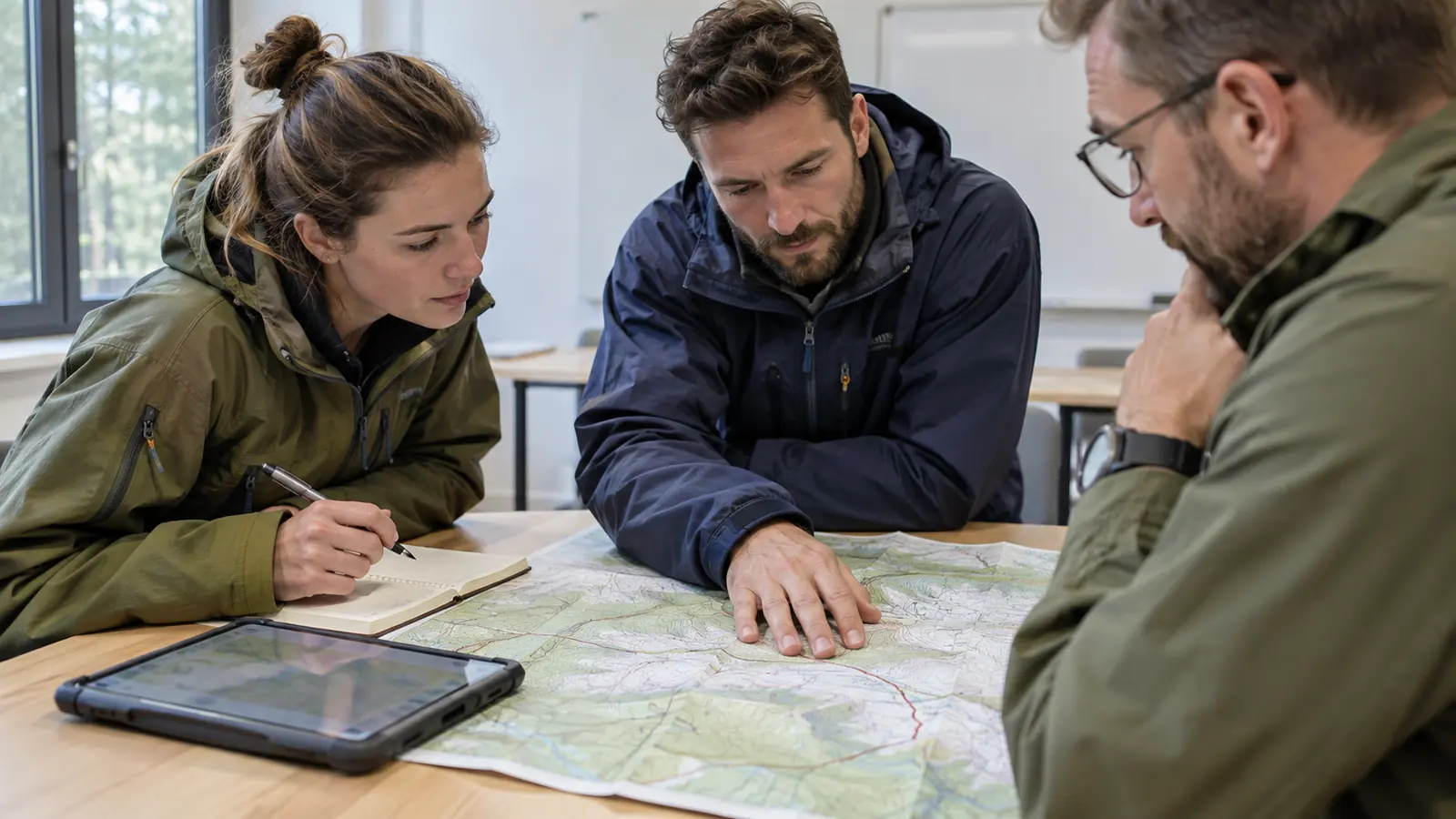
Prepare training areas, build routes for groups and present the plan on a screen.
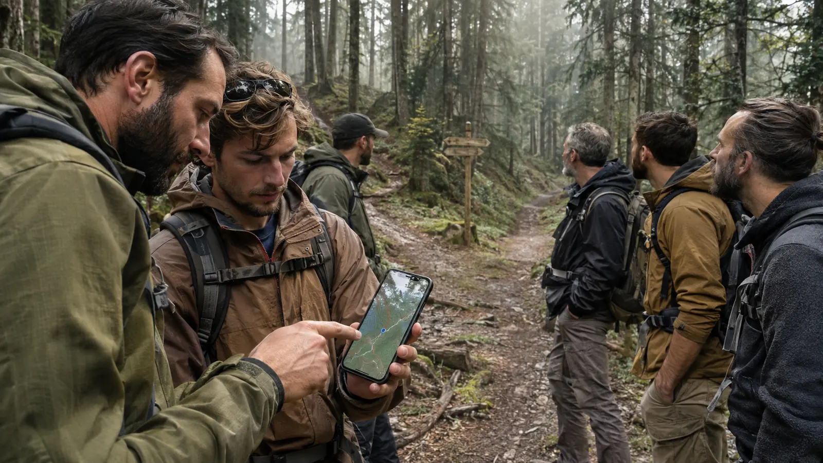
Divide search areas, track positions and report coordinates in the format control expects.
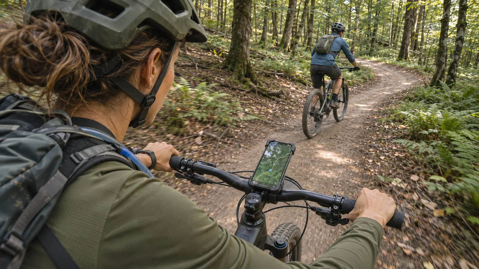
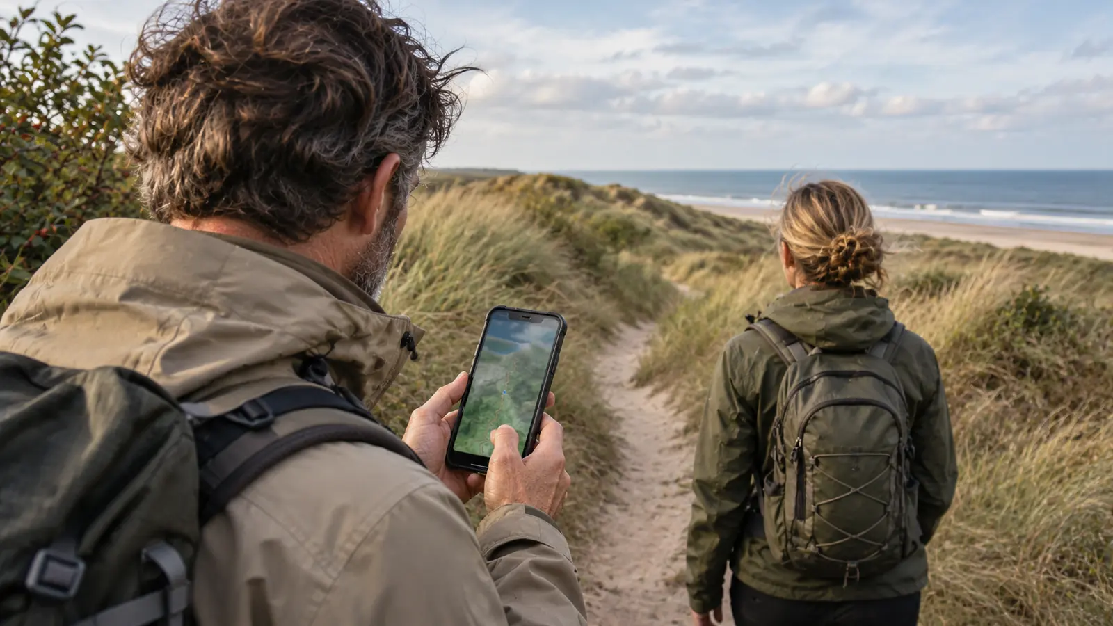
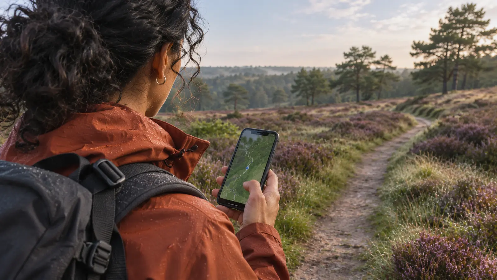
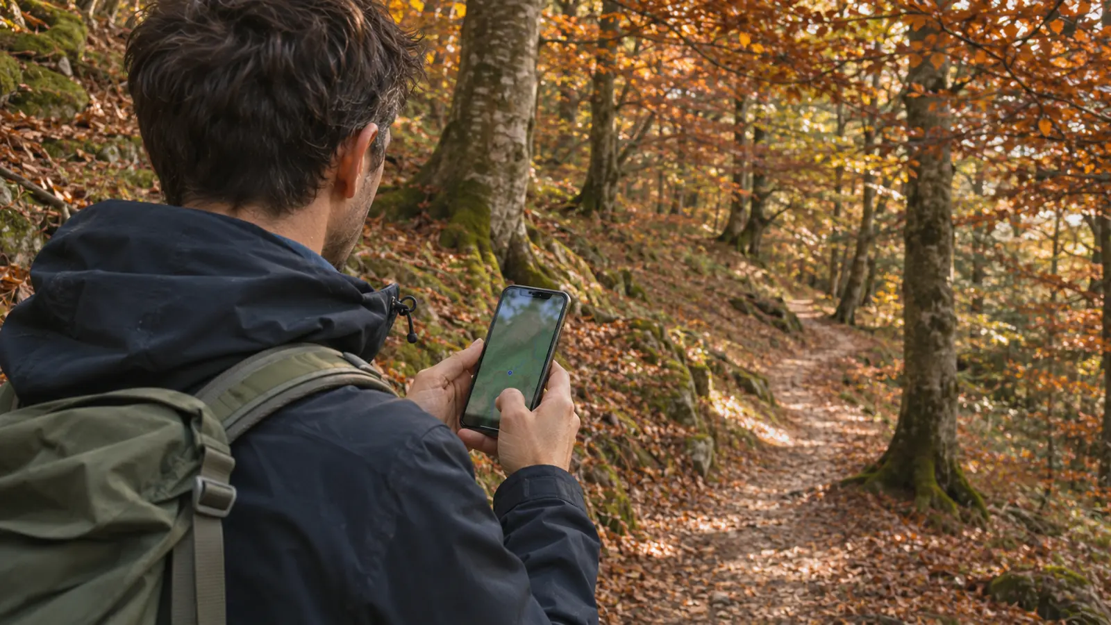
Navigate heath, forest and mountains with offline maps and your route always in your pocket.
Military maps use the Military Grid Reference System. MilMap shows MGRS next to your position, converts GPS coordinates both ways and explains the grid step by step in our free guide.
Searching for a training area map? We publish maps with MGRS grids for military training areas in Europe and the US — including the ones below.
All training area maps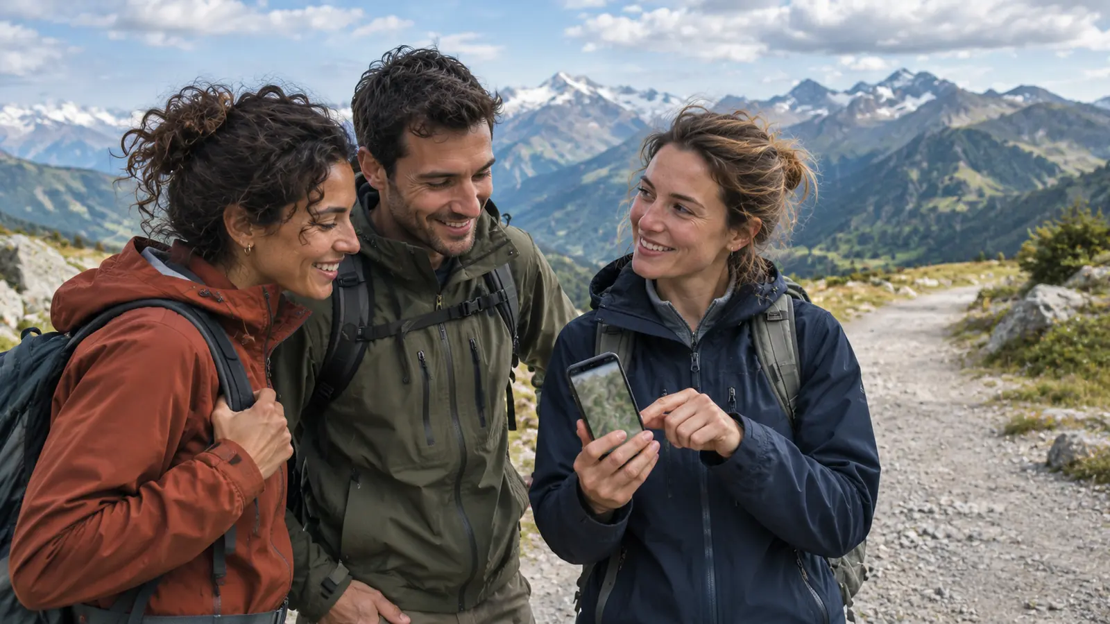
Yes. People type the name in different ways — mil map, mil maps, milmaps — but they all refer to MilMap, the map and navigation app at milmap.nl.
MilMap is used to plan routes, work with MGRS coordinates, prepare missions and navigate offline. It is built for military users, instructors and search-and-rescue teams, and works just as well for serious hiking and biking.
Yes. Download map regions beforehand and you can keep navigating, reading your MGRS position and following your route without a mobile signal.
MilMap is available as an iPhone and iPad app, as an Android app and in your web browser, so your maps and routes stay in sync across devices.
Yes. You get a 7-day trial without payment details. See the pricing page for the plans afterwards.
Military maps, MGRS and offline routes — try it for 7 days.