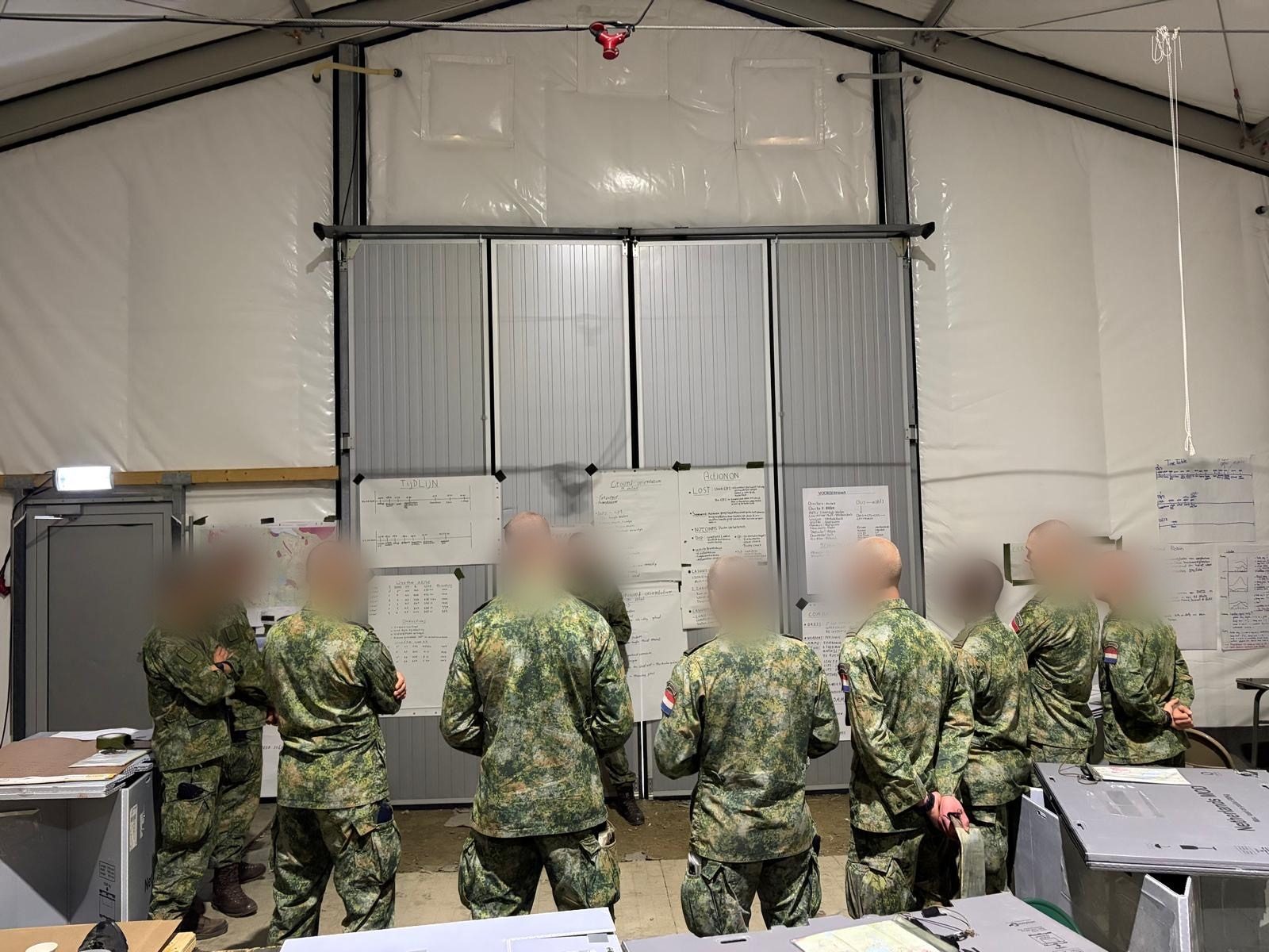
Proven in the field
Netherlands Marine Corps
Mountain training Norway
How MilMap was used for route maps, terrain analysis and operational planning during mountain training on Senja — up above the snow line, with offline maps and PDF route maps as a backup.
Accuracy came first during the mountain training. MilMap delivered the route maps, terrain analysis and operational planning — usable in alpine conditions, even without a connection.
MGRS
Military coordinate system
100%
Fully offline capable
3D
Flyover terrain analysis
PDF
Printed route maps
Route map prepared, printed and taken along
The route was prepared in MilMap with MGRS coordinates. On the move, the team worked from the printed route map — dependable in the field, even without a connection.
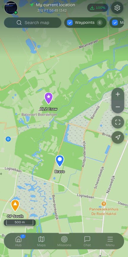
Route mapMGRSPDF print
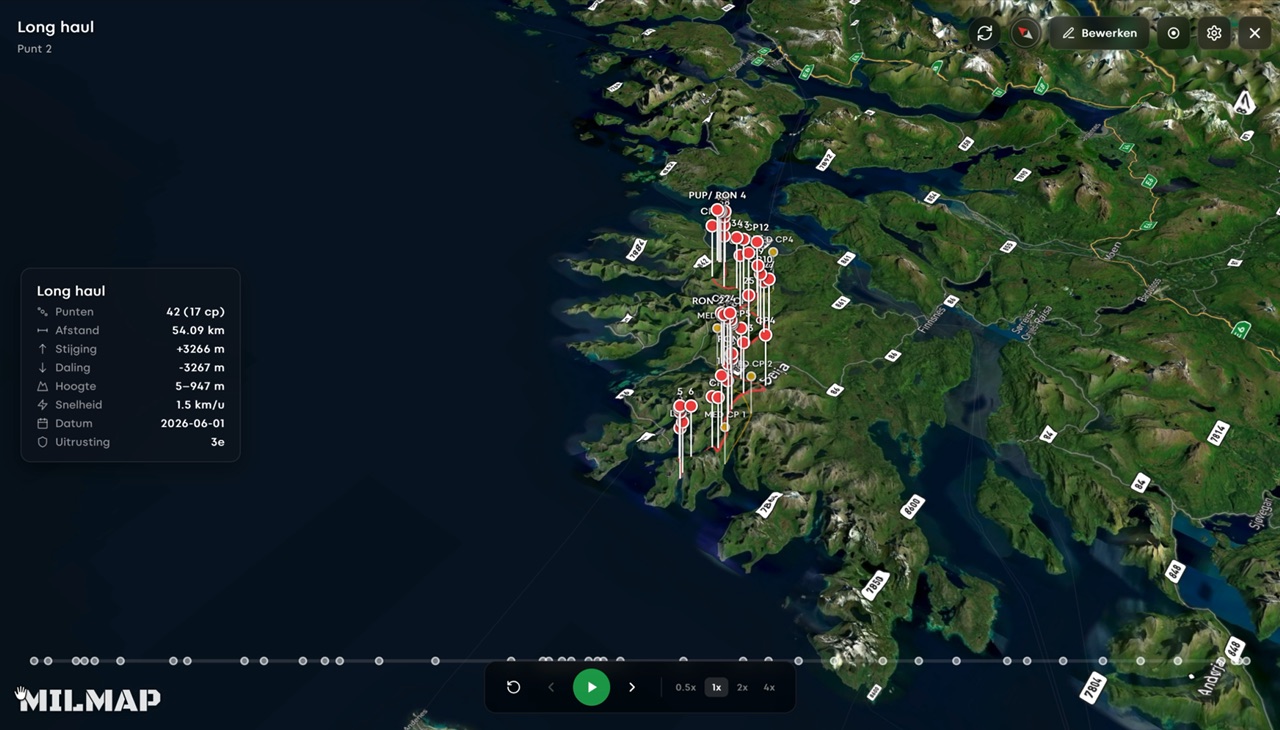
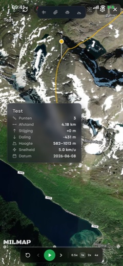
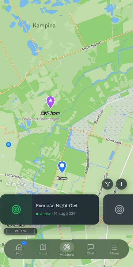
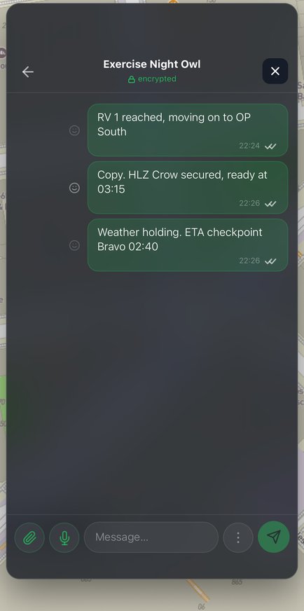
We reviewed the route and the terrain beforehand with the 3D flyover on the laptop, and worked from the printed route map on the move. From preparation to movement in one tool.
Netherlands Marine Corps
Royal Netherlands Navy · Mountain training Norway
Ready to put MilMap to work
in your unit?
Plan routes, analyse terrain and share briefings — on web, iOS, Android and desktop. Start for free.